
DALLAS AREA FLOOD ALERT SYSTEM
Rain Gauges in District 1
07/22/2026 09:30:13
PointID     1715     2055     2535     2555     2775     3055     3075     3775     4535     4855
StatType default  default  default  default  default  default periodra  default  default  default
DataType                                                        precip
Units                                                               in
12/31/01
1800       _____    _____    _____    _____    _____    _____     0.00    _____    _____    _____
1800       _____    _____    _____    _____    _____    _____     0.00    _____    _____    _____
1800       _____    _____    _____    _____    _____    _____     0.00    _____    _____    _____
1800       _____    _____    _____    _____    _____    _____     0.00    _____    _____    _____
1800       _____    _____    _____    _____    _____    _____     0.00    _____    _____    _____
1800       _____    _____    _____    _____    _____    _____     0.00    _____    _____    _____
1800       _____    _____    _____    _____    _____    _____     0.00    _____    _____    _____
1800       _____    _____    _____    _____    _____    _____     0.00    _____    _____    _____
1800       _____    _____    _____    _____    _____    _____     0.00    _____    _____    _____
1800       _____    _____    _____    _____    _____    _____     0.00    _____    _____    _____
1800       _____    _____    _____    _____    _____    _____     0.00    _____    _____    _____
1800       _____    _____    _____    _____    _____    _____     0.00    _____    _____    _____
1800       _____    _____    _____    _____    _____    _____     0.00    _____    _____    _____
1800       _____    _____    _____    _____    _____    _____     0.00    _____    _____    _____
1800       _____    _____    _____    _____    _____    _____     0.00    _____    _____    _____
1800       _____    _____    _____    _____    _____    _____     0.00    _____    _____    _____
1800       _____    _____    _____    _____    _____    _____     0.00    _____    _____    _____
1800       _____    _____    _____    _____    _____    _____     0.00    _____    _____    _____
1800       _____    _____    _____    _____    _____    _____     0.00    _____    _____    _____
1800       _____    _____    _____    _____    _____    _____     0.00    _____    _____    _____
1800       _____    _____    _____    _____    _____    _____     0.00    _____    _____    _____
1800       _____    _____    _____    _____    _____    _____     0.00    _____    _____    _____
1800       _____    _____    _____    _____    _____    _____     0.00    _____    _____    _____
1800       _____    _____    _____    _____    _____    _____     0.00    _____    _____    _____

TOTALS:    _____    _____    _____    _____    _____    _____     0.00    _____    _____    _____
This information is provided with the understanding that it is not guaranteed to be correct or complete and conclusions drawn from such information are the sole responsibility of the user.
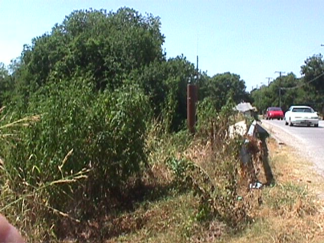
1715 Ash Creek @ Highland Mapsco 47C
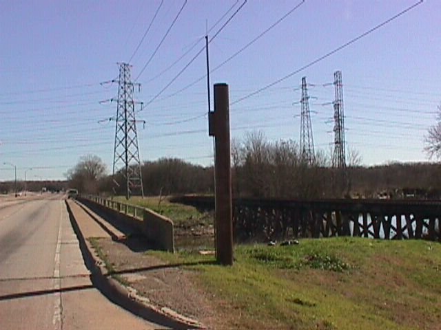
2055 White Rock Creek @ Scyene Rd Mapsco 47T
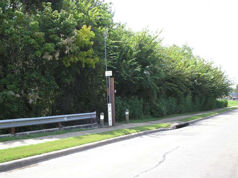
2535 Lake June Branch @ St Augustine Rd Mapsco 59K
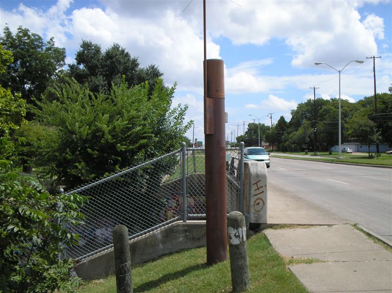
2555 Elam Creek @ Lake June Rd Mapsco 58K
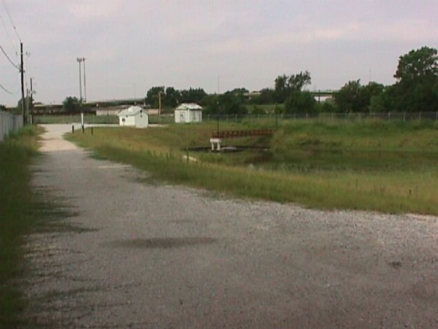
2775 McCommas Landfill Mapsco 67K
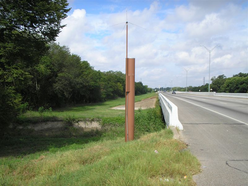
3055 White Rock Creek @ CF Hawn Frwy Mapsco 57F
3075 SMBX(St Station)-Municipal @ Budd Mapsco 56G
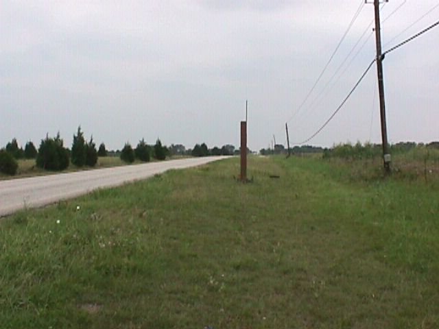
3775 Bonnie View @ Telephone Rd Mapsco 76H
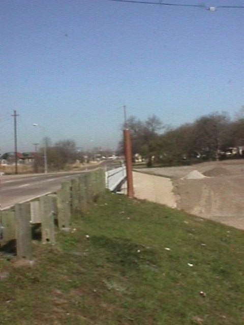
4535 Five Mile Creek @ Lancaster Rd Mapsco 65M
4855 Sargent Rd @ Morrell Ave Mapsco 55H
Hold the mouse over the Device ID for location; click for picture.